


IIT Madras has recently introduced a groundbreaking real-time indoor mapping technology for disaster relief operations. This innovative technology allows emergency responders to quickly navigate indoor spaces during rescue missions. The system uses advanced sensors and algorithms to create detailed maps of buildings, enabling precise location tracking even in complex structures. This technology has the potential to revolutionize disaster management in India, where natural calamities like floods and earthquakes are prevalent. The real-time indoor mapping system was developed by a team of researchers at IIT Madras and has already shown promising results in simulated disaster scenarios. By providing accurate and up-to-date maps of indoor environments, this technology can significantly improve the efficiency and effectiveness of rescue operations. The unveiling of this cutting-edge technology highlights IIT Madras’ commitment to leveraging innovation for societal benefit. With its potential to save lives during emergencies, the real-time indoor mapping technology is a significant development in the field of disaster relief. As India continues to face various environmental challenges, such advancements in technology play a crucial role in enhancing the country’s disaster response capabilities. The introduction of this technology marks a significant step towards more efficient and coordinated disaster relief efforts in India.
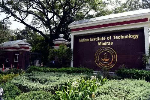
IIT Madras introduces real-time indoor mapping technology for disaster relief operations.
In Trend


“Guindy National Park clears wild growth at Polo Ground, creating more space for blackbuck deer”